History of How the Lake Began
Wonder Lake was developed in 1929. These photos depict the beginning of Wonder Lake, and it's dam. The photos are drawn from a series of lake renewal calendars that were issued 1985 through 1989 by the MPOA and the Wonder Lake State Bank.
Today, Wonder Lake is 832 acres making it one of the largest private lakes in Illinois. It is approximately 3 miles long with 7 miles of shoreline. Average depth is 6 1/2 feet with the deepest part of the lake, 14 feet, near the dam. There are 6 islands and 14 boat ramps. Each subdivision has it's own beach, and those beaches are for use of residents with lake rights that do not have lake shore property.
Wonder Lake has a very healthy fishery with large and small mouth bass, walleye, bluegill, sunfish crappie, perch and even muskie. Rough fish include carp, bullheads and catfish. The Sportsman Club and MPOA stock the lake with $3,000 to $4,000 worth of game fish each year. Dredging project during 2014/15 season, removed 470,000 cubic yards of sediment from the lake, which is enough to cover a football field 26 stories high, creating an additional 100 acres of deeper, cleaner water.
Click on the picture to view a larger image and receive more information.
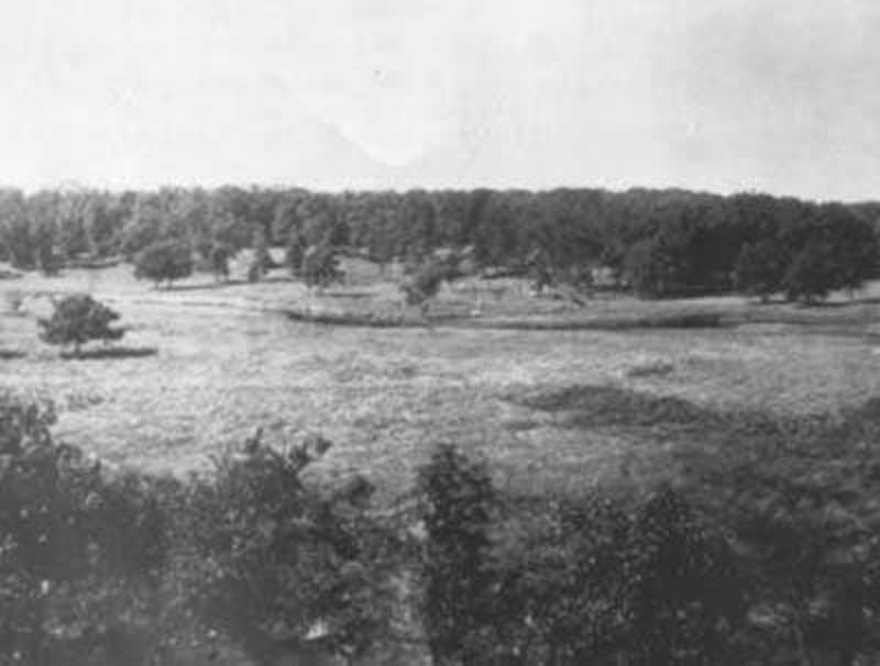
Nippersink Creek, 1929
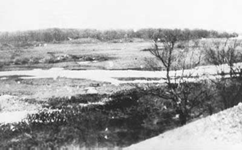
Nippersink Creek enters Greenwood Township
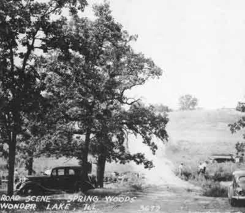
Spring Woods, 1929
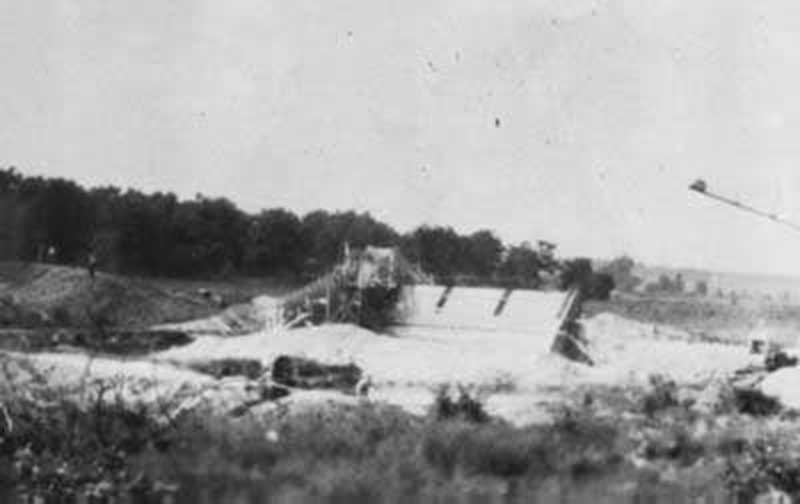
Dam Construction
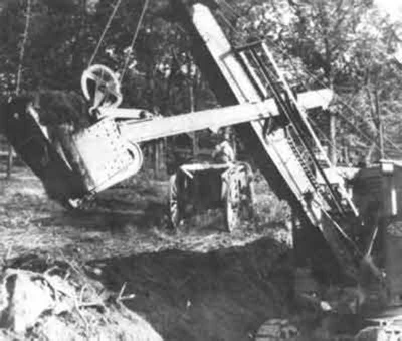
Dam Construction Overview
Lake Fill, 1930
Wonder View, 1930

Dam view, 1934
Lookout view, 1930's

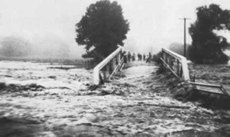
July 6, 1938
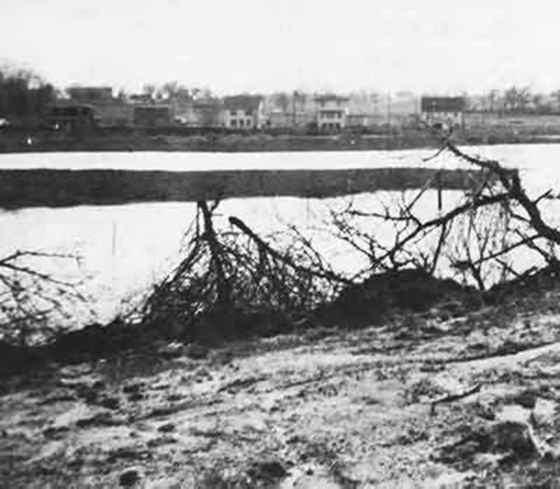
Adams Dam destroyed 1938
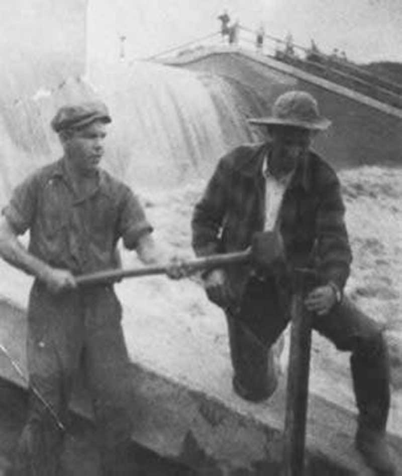
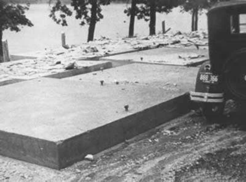
1938 Dam Repair
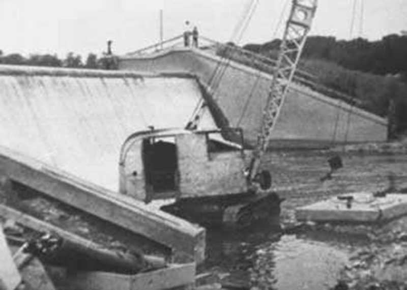
Flood Repair, 1938
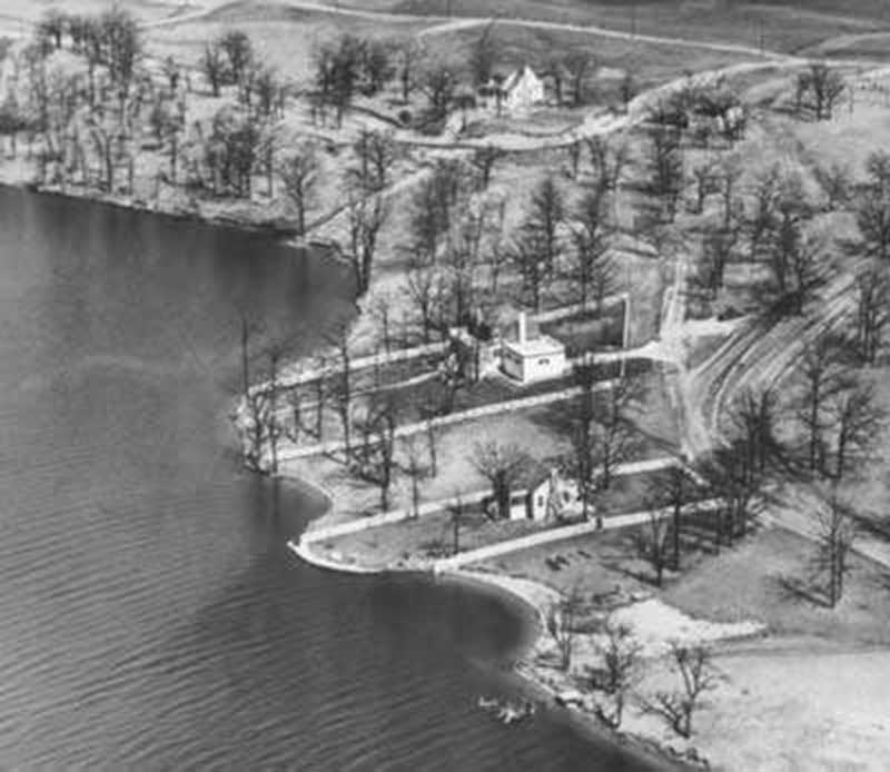
Lookout Point, 1940's
East Shore, 1940

Lookout view, 1946
Hancock Dr, 1960's
White Oaks Bay

Center Beach, 1983
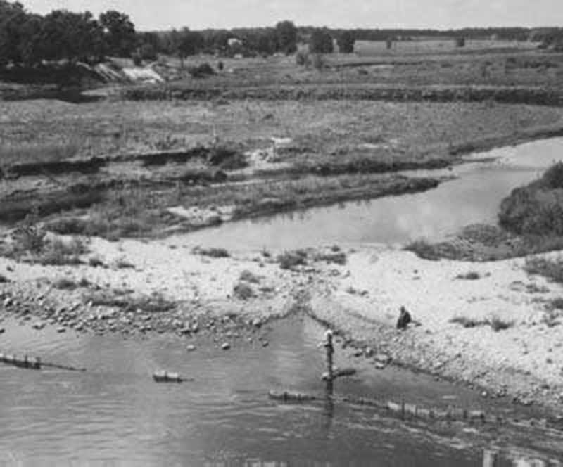
Lake Drawdown, 1986
