Boger Bog — Boger Bog Trail Map, 2100 Cherry Valley Rd., Bull Valley (37 acres)
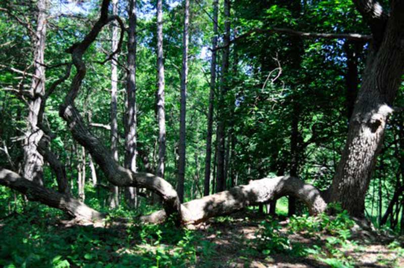
This intimate site features a 1 mile nature trail with boardwalk, council ring, and picnic shelter. Not truly a bog but a graminoid fen, the site is comprised of numerous natural communities including a silt-loam prairie, calcareous seep and spring, an oak woodland and a sedge meadow.
Location
2100 Cherry Valley Rd
60097
Bull Valley
, IL
See map: Google Maps
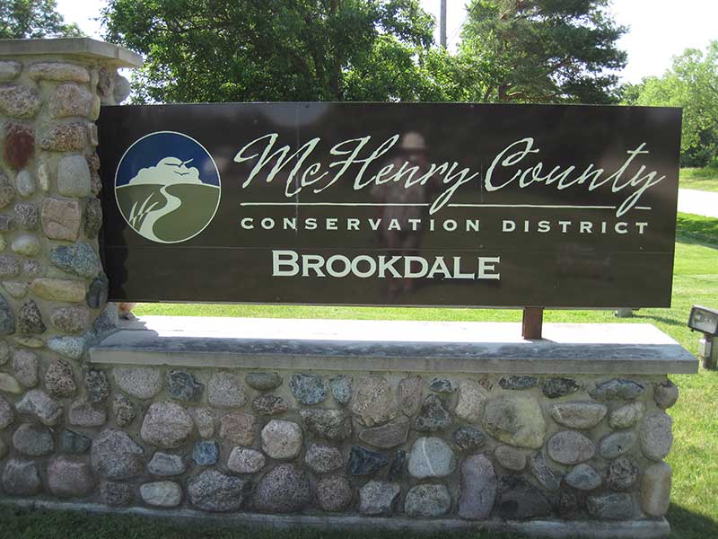
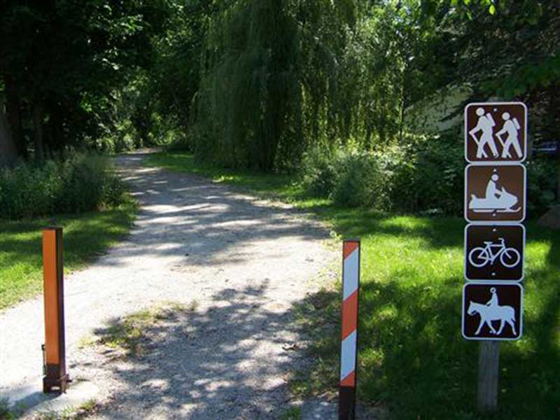
Conservation District (MCCD) — McHenry County Conservation District manages over 25,000 acres of open space graced with woodlands, prairies, wetlands, and savannas. In addition, within the District’s sites there are 17 dedicated State Nature Preserves. Thirty-two sites are open to the public to enjoy hiking, biking, fishing, canoeing, picnicking, nature viewing, camping, cross-country skiing and snowmobiling. Environmental education programs for all ages are offered throughout the year. Visit their website for educational programs and volunteer opportunities.
Location
18410 US Highway 14
60098
Woodstock
, IL
Phone:
815-338-6223
See map: Google Maps
Elizabeth Lake — Elizabeth Lake Nature Preserve Varga Archaeological Site Trail Map,
Hawk’s Point Road/11000 Lakeview Road, Richmond (352 acres)
Significant natural and archeological features including a graminoid bog highlight this site which includes a 238 acre Illinois State Nature Preserve. A 2 mile interpretive trail and observation deck are featured.
Location
Hawks Point Road
60072
Richmond
, IL
See map: Google Maps
Glacier Park — Glacial Park Trail Map, 3,298 acres Lost Valley Visitor Center, Powers-Walker historic homestead, The Wiedrich Barn and Research Field Station also exist on the site. Recreational opportunities include hiking, biking, canoeing, horseback riding, picnicking, cross country skiing, snowmobiling and wildlife viewing.
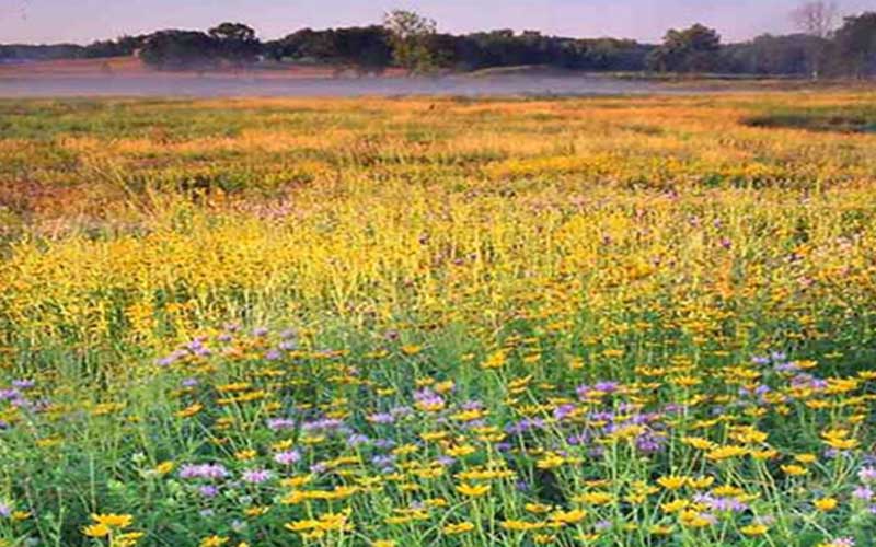
This remnant of glacial activity contains gravel kames, kettles, restored prairies, oak savannas and wetlands.
Location
6316 Harts Road
60097
Ringwood
, IL
See map: Google Maps
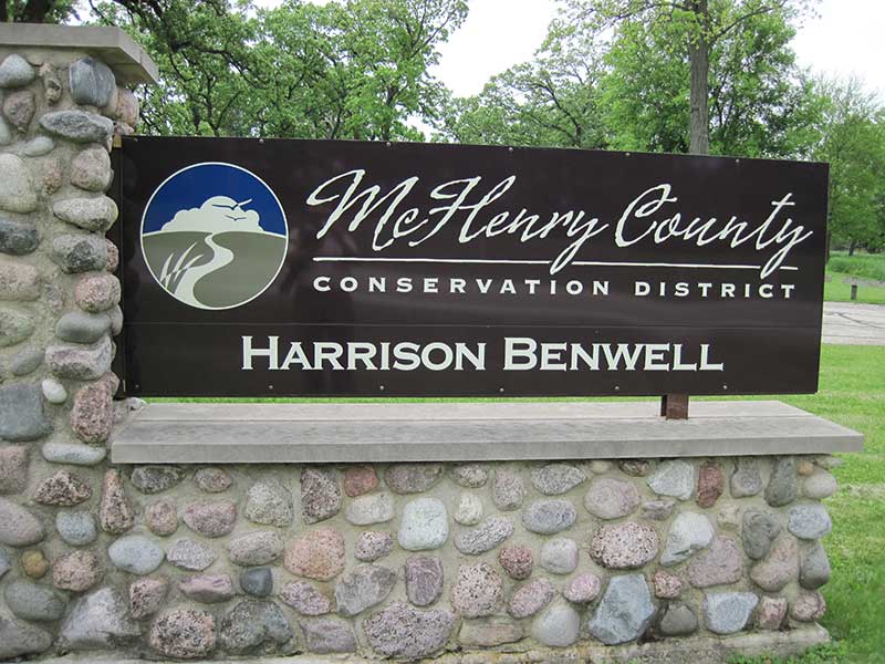
Harrison Benwell — Harrison Benwell Trail Map (PDF), 74 acres
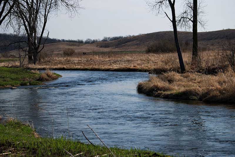
The oak and hickory woodland and meandering stream make this a favorite site for hikers or cross-country skiers along 1.6 miles of looped trails.
Location
7055 McCullom Lake Road
60097
Wonder Lake
, IL
See map: Google Maps
Hebron Trail — Hebron Trail Map 54 acres
Constructed on the former K.D. railroad line, this 7-mile trail runs from Church St. in Hebron eastward through North Branch Conservation Area and links with the Prairie Trail in Richmond. A camp-by-bike area is located in North Branch for the convenience of bikers on longer trips.
Location
Church Street
60097
Hebron
, IL
See map: Google Maps
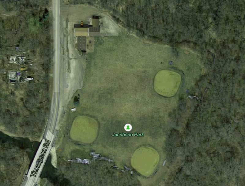
Jacobson Park — The 29 acre park was donated to the Village of Wonder Lake in the 1970's by a developer. Five acres have been developed for softball, soccer, tennis, basketball and in-line hockey. Visit their website for more information.
Location
4150 Thompson Road
60097
Wonder Lake
, IL
Phone:
(815) 728-0839
See map: Google Maps
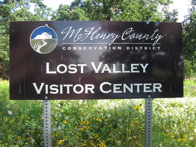
Lost Valley Visitors Center — Lost Valley Visitor Center (located within Glacial Park, See Trail Map), Route 31 & Harts Rd., Ringwood. Open daily. (815) 678-4532.A model for green technologies, the visitor center serves as the epicenter for exploration of natural history and the study of natural resources. Changing exhibits, a variety of education programs and workshops, a drop-in library with WiFi, Research Field Station and reference library, encourage outdoor enthusiasts of all ages to delve deeper into the natural world.
Location
Harts Road
Ringwood
, IL
See map: Google Maps
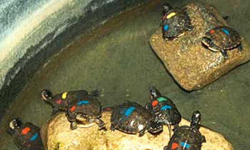
MCCD's Wildlife Resource Center — McHenry County Conservation District's Wildlife Resource Center has three primary goals – environmental education, captive rearing, propagation and reintroduction of selected wildlife species, and rehabilitation of species of conservation concern. For more information about the Wildlife Resource Center or questions about local wildlife contact (815) 728-8307 or Wildlife@MCCDistrict.org. For more information about McHenry County Conservation District, visit MCCDistrict.org or email MCCD@MCCDistrict.org.
Location
6419 Giant Oak Road
60097
Wonder Lake
, IL
Phone:
(815) 728-8307
See map: Google Maps
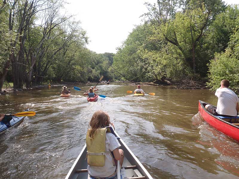
Nippersink Canoe Base — Nippersink Canoe Base Trail Map, 370 acres Canoe Rentals: Wet 'n Wild Outfitters 815-814-5155 Tip A Canoe 262-537-3227 Flat Water Canoe & Kayak 815-353-7333
The Nippersink Canoe Base provides visitors with canoe and fishing access to Nippersink Creek. The site boasts a gallant oak and hickory grove with interpretive signage, picnic shelter, restrooms, drinking fountain and a short .35 mile wooded nature trail. Nippersink Canoe Base site protects the creek and surrounding wetland communities.
Location
400 E. Route 12
60081
Spring Grove
, IL
See map: Google Maps